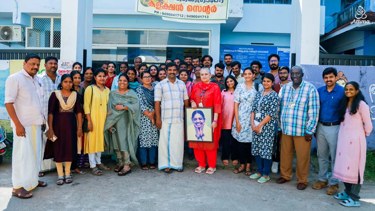
Amrita University has launched a Tsunami Evacuation and Shelter Map for Alappad Panchayat, a region vulnerable to tsunamis. The initiative combines the science of geospatial data with direct participation from the local people. It was developed in collaboration with the UNESCO Intergovernmental Oceanographic Commission and the Kerala State Disaster Management Authority.
“Our goal is to make Alappad a tsunami-ready community,” the team stated. They emphasised the importance of working directly with all residents to strengthen response when tsunamis approach.
Key stakeholders involved in the project included U Ullas, President of Alappad Panchayat; Dr. Sudha Arlikatti, Research Head at Amrita School for Sustainable Futures: Dr. Prem G Prakash, Hazard Analyst at the Kollam District Disaster Management Authority; and Dr. Sajithkumar, Assistant Professor at the Amrita School for Sustainable Futures.
The collaboration also drew on the expertise of staff and students from the Amrita School for Sustainable Futures and the Amrita Center for Wireless Networks and Applications.


